Sunday, March 12, 2006
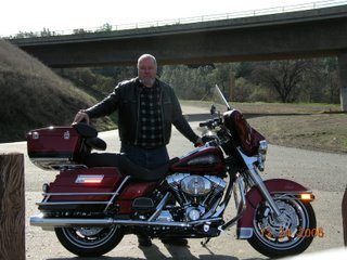
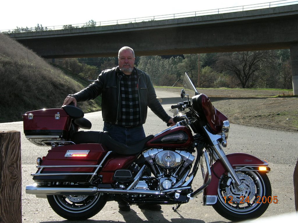
Christmas Eve Ride
Saturday dawned cloudy and damp, with the temperature in the upper 50s.
I dawdled until around 11, waiting for the roads to dry off a bit, then went and got the bike out. I headed north out of Sacramento on the Garden Highway, which is a fancy name for a levee road. The road runs atop the levee alongside the Sacramento River until the Feather River splits off, then follows the Feather River. Since the road follows the river, there are lots of sweeping curves, but not much vertical relief. After all the rain we've had around here, the river was swollen and the water level was higher than the ground level on the other side of the levee.
The road was damp, but in pretty good shape, until I hit the Sutter county line, where the pavement became quite pot-holed and rough. I had to slow down a bit, but the suspension ate up the bumps.
The houses on the river side of the levee varied from real nice homes, on built up earth, to equally nice homes on stilts, to not as nice homes on stilts, to mobile homes that looked like they could be pulled out real quick if the water was to rise that high.
After about 30 miles of the levee road, I came to highway 99, which I took north across the river and toward Yuba City. After 10 miles of highway, I turned back onto the Garden Highway, which on this side of the river is below the levee and runs through orange groves and vineyards.
As I approached Yuba City, I observed that although it was still cloudy to the west, the clouds to the east appeared to be breaking up. I had looked at a map and was thinking of riding west from Yuba City to Clear Lake, then to Napa, but decided that sunshine would be the rule of the day and headed east on highway 20 towards the foothills. After leaving the rice paddies behind, route 20 rises through some nice turns and hills toward Grass Valley. About 25 miles from Yuba, Indian Springs Road heads south, so I took it. I had noticed this road on the map, and thought it might be a nice byway. It was. It wound through the woods and horse and cattle farms. I love to ride on back roads, there's no traffic to worry about, there is much scenery to look at, and if you are not in a hurry, they will get you where you want to go.
This road reminded me of some of my favorite roads in the Texas Hill Country, the terrain was similar although it is a lot greener here.
For those following along at home, Indian Springs road runs into McCourtney Road, which runs into Lime Kiln Road, which takes me to Highway 49 north of Auburn.
The ride on 49 to Auburn isn't much to write home about, but that is made up for just as soon as you leave Auburn going south on 49. The road drops down the side of a mountain, with switchbacks galore, only to cross the river at the bottom and head up another mountain, with even more swichbacks. The road calms a bit after that, and becomes a really nice ride, with curves and ups and downs, through some very pretty country.
I passed the Marshall Gold Discovery State Park where in 1848 James Marshall discovered the gold which led to the California Gold Rush. I will return here when it is not a holiday to take in the exhibits.
Upon reaching Placerville, I checked my watch and decided to head for home. I took rt. 50 and slabbed it back into Sacramento, remembering to vary my speed and not go too fast, as I am still breaking the bike in. For the most part I kept it under 75, and made it to the barn OK.
About 180 miles, in 60 degree weather, most of it in the sunshine. A nice Christmas present.
I hope each of you enjoyed your Christmas as well.
# posted by George Pollard @ 1:33 PM 
![]()